
Portland Neighbors Around an Address
Public sources can provide useful Portland neighbors context without becoming a household roster. PortlandMaps is the block-level entrance. It connects an address or intersection to property, district, zoning, permit, infrastructure, and map information. Select nearby parcel shapes one at a time, then use the correct county record to verify each account. For a Multnomah County property, MultCoPropTax supplies the assessment trail. A mapped shape is context, not legal title, and an assessed owner is not automatically the person now at the location.
| Block source | What it contributes | Portland access and limit |
|---|---|---|
| PortlandMaps | Surrounding parcel map, district, zoning, and address-linked permit context | Address or intersection search; county records confirm title or assessment facts. |
| MultCoPropTax | Individual tax account, assessed owner, land and building facts | Repeat the guest search for each Multnomah parcel; mailing and situs fields differ. |
| MultCoRecords | Recorded party, document type, date, number, and legal description | Online documents begin in February 2002, with counter and microform fallbacks. |
| PP&D permits and cases | Project, land-use, or enforcement timing for one address | Portal context generally reaches 2000 forward and does not identify a household. |
| Neighborhood associations | Organization contact, meeting, and local-project context | City-recognized groups are not member lists. |
| Elections records | Lawfully requested election-administration material | My Vote is an own-record tool; protected fields and list rules apply. |
Portland reaches into Multnomah, Clackamas, and Washington Counties. First identify the actual county for the property. A Portland postal label or city location does not guarantee that Multnomah’s assessor or recorder holds the parcel. The property map is a sound place to begin a neighbor question, but the county boundary determines which official account system can answer it.
Map a Portland Neighbor Block
A block-focused Portland neighbors search should move from map geometry to individual records. PortlandMaps has district, zoning, neighborhood, permit, and other GIS layers. Its adjacent-parcel click identifies a property summary, not a confirmed relationship between people. Keep a list of the parcel or Property ID for each nearby shape, and verify each result on its own. A pair of displayed parcels does not establish that the owners live there or that every person on the block is publicly disclosed.
- Enter the address in PortlandMaps, or search an intersection and choose the mapped property.
- Zoom to the immediate block and select one neighboring property shape at a time to note its address or county account clue.
- For a Multnomah property, use the address or Property ID in MultCoPropTax and record the fields exactly as labeled.
- When a recorded transfer matters, search MultCoRecords by party, date, document type, or legal description, then compare the document details.
- Use the city map again for block context, permits, and neighborhood boundaries, not to make a claim about every neighbor.
The current PortlandMaps replacement announcement is a reminder to check the live city interface before relying on an old screen layout. For a full named-street chain, rather than the immediate block, use the Portland Street Directory.
- Parcel
- A mapped unit of land used to organize tax and property information.
- Situs address
- The physical location of the taxed property.
- Mailing address
- The destination used for tax correspondence, which may not be the situs address.
- Legal description
- The recorded lot, plat, or similar identifier used to connect instruments even when a street address changes.
Note: A parcel map is valuable for orientation, but each account and recorded instrument needs separate confirmation before it supports a block conclusion.
Portland Neighbors and Ownership
The county’s labels set the boundary for a careful Portland neighbors search. A MultCoPropTax result can show owner, land and building facts, value, tax year, site address, and a separately labeled mailing address. The situs field describes the real property. The mailing field shows where the tax bill is sent. It can lead to a different residence, a business, a trustee, a property manager, or a post-office address. Neither field creates a current-resident list.
| Official route | What it supports | What it does not establish |
|---|---|---|
| PortlandMaps adjacent parcel | Block geography and property context | Legal title or current residence. |
| MultCoPropTax account | Assessed ownership and tax fields | Every person associated with an address. |
| MultCoRecords document | Named parties and a dated recording event | That a listed party remained at the property. |
| Historic city directory | A listed person or business at an address in a chosen year | Current facts or ownership proof. |
This distinction matters in every Portland neighborhood. An assessed owner may not be at the situs address, and a person at an address may not appear in assessment or recording fields. The most accurate language is the record’s own language: owner, party, mailing address, or historic listing. When the question is about a past address, annual reverse directory entries can offer a dated clue, but the Directory Book’s collections should be used with their edition-year limits.
Portland Neighbor Association Contacts
Portland’s community layer can make a Portland neighbors search more useful without exposing private membership. The City recognizes 94 neighborhood associations and four nonprofit district-coalition offices. Use the My Neighborhood system, the City directory, or PortlandMaps to identify the appropriate association for an address and locate its public organizational contact, meeting, or project information. The associations began with the Office of Neighborhood Associations in 1974 and can provide local planning and historical context.
The City’s My Neighborhood information is shown below as the official starting route.
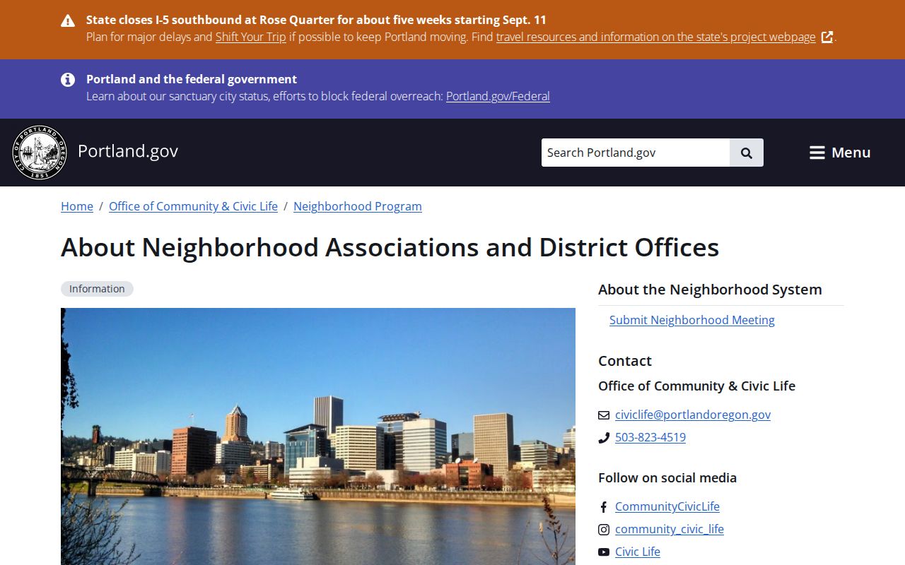
Use an association’s public contact for meeting and community information, while recognizing that participation does not place a person on a public list.
My Neighborhood
Match an address to Portland’s neighborhood system and start with the public organization context for that area.
PortlandMaps
Check the address-linked neighborhood, district, and project context before comparing nearby parcels.
Coalition districts
Use the City’s four district-coalition offices as a broader organizational layer when local meeting or project context is needed.
City Archives, the Oregon Historical Society Research Library, and Portland State University Special Collections can also help with community history, maps, and organization records. Those collections are research leads for a neighborhood’s past, not a current-person directory. The same care applies to faith, civic, or alumni material: a public repository or organization decides what it can provide.
Note: Association contacts describe an organization and its activities, not every person who participates in a Portland neighborhood.
Portland Neighbor Block Changes
Permits can explain how a Portland block changed over time. In PortlandMaps, the Permits & Zoning area provides active and historical building, trade, land-use, and enforcement context generally from 2000 forward. Advanced permit tools support filters by permit type, status, location, date or time, and neighborhood association. An application code can also indicate its general category, such as residential building, commercial building, electrical, plumbing, or mechanical trade work. These are project records, not a neighbor roster.
For nonposted material, Portland’s permit and development records have a public-records fallback, with the research noting an $8 minimum address request. Ask for a specific address, time period, permit or case number, and desired format. Oregon Public Records Law, ORS chapter 192, requires a public body to acknowledge or complete a request, or give a written estimated completion date, within five business days. The next timing step and any actual-cost estimate follow the statute’s process.
A block’s era matters. Brooklyn includes structures from the 1800s, Woodlawn developed from an 1860s farming village, Parkrose shifted after a 1911 subdivision plat, and Pearl’s mixed-use identity emerged mainly in the early 1990s. Annexation and Portland’s 1931 to 1933 readdressing can change the city source or address form needed for older research. Use the Crane crosswalk before treating an old address search as a no-result.
Portland Neighbors Voter Limits
Oregon My Vote is designed for a voter to see that voter’s own registration. It is not a browse-by-street tool for Portland neighbors. Multnomah County Elections is the official route for a narrowly described public-records request for lawfully available voter-list material. In the County Public Records Center, choose Submit a Request, use a valid email account, select All Other Departments and then Elections, and describe the record. County information gives a $25 setup charge plus $0.025 per 100 voter records, subject to a $5 minimum and $500 maximum order fee.
The Multnomah Elections records-request instructions show the county request route.
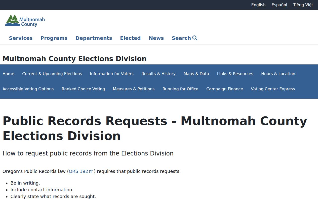
County Elections, rather than the self-service My Vote page, decides what responsive material may be released and what must be withheld.
Requested records may include registration or residence information and an election-participation history when lawfully available, never ballot choices. Confidential voters, signatures, Social Security and driver-license numbers, and protected date-of-birth elements are excluded. Cancelled registration cards from 1908 through 2006 are held by Multnomah County Archives, with signatures not copied. Active records and later cancelled records route to Elections. These are verification channels, not a basis for publishing a block list.
The Multnomah Elections maps and data page provides the county’s published voter-list context.
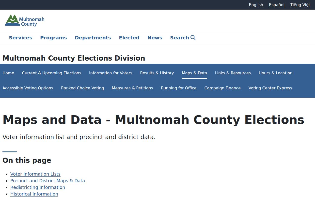
The page supports a request-based verification route and does not transform the election system into a public street directory.
Note: Election participation history is not ballot-choice information and remains subject to current Oregon confidentiality and release rules.
Portland Neighbor Source Comparison
Official records and commercial compiled tools serve different purposes. A public map or county account has a named custodian, labeled fields, and a clear correction path. Commercial compiled tools may mix brokered, public, and self-reported material, so an entry can be stale or assigned to the wrong person. A suppression request for a commercial listing does not remove the original county or city record. For a block question, favor a narrow official source and describe its limits honestly.
| Source type | Useful for | Reliability boundary |
|---|---|---|
| Official parcel and recording sources | Named, dated property and document facts | Fields still require correct interpretation and may not show residents. |
| City GIS and permit systems | Address context, map layers, and project history | Map context is not legal title or a household roster. |
| Commercial compiled listings | A possible lead to verify independently | Can be incomplete, stale, or mismatched; use no claim until an official record confirms it. |
Portland Neighbor Lookup Limits
Privacy limits protect Portland neighbors as much as they limit a search. The Oregon Address Confidentiality Program gives eligible participants a substitute address, and that address must not be treated as an actual residence. Oregon voter privacy protects confidential records and sensitive fields. DMV information has separate limits. Utility customer information and a roster of people at an address are not a public block resource. If a record seems uncertain or protected, stop and ask the custodian about an appropriate lawful route.
The Portland Police Records Division handles incident-record requests through the Portland Records Request Center or its mailed Uniform Public Records Request Form, not by email or phone.
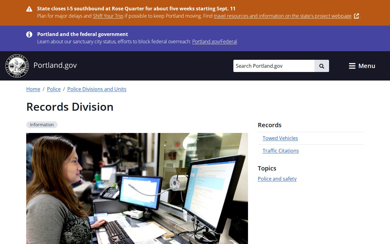
A PPB request is case-specific and subject to exemptions. The published $2 self-name record is not a block search or a statewide record.
Lawful use. Portland neighbor information is for personal, lawful research, community context, and safety awareness. Oregon stalking and harassment laws prohibit using it to watch, threaten, harass, or harm another person.
For an immediate emergency, call 911. For a Portland nonemergency crime or known-fraud situation, use 503-823-3333 rather than a caller’s number. Public availability never grants consent to contact or profile a person.