
Map a Portland Street by Address
Start a Portland address search at PortlandMaps. Enter the street number and street name. If the exact form misses, the city advises omitting the suffix or searching an intersection, then selecting the mapped property. The property view supplies map context, districts, zoning, permit and enforcement leads, plus a path toward the county account. It is a city GIS view, so it does not establish legal title and it cannot prove that a named party lives at the address.
For a Portland address in Multnomah County, take the site address or Property ID to MultCoPropTax. Then use the owner name, document number, or legal description in MultCoRecords. A Portland address near the south or west edge can instead be in Clackamas or Washington County, so verify the tax county before reading a Multnomah result as a complete answer. This order keeps the map, assessment, and recording systems in their proper roles.
- Search the Portland address or a nearby intersection in PortlandMaps and select the mapped property. Record the site address and any property-account lead.
- Check the relevant county account. For Multnomah property, use the guest address or Property ID route in MultCoPropTax and note the displayed owner, legal description, and tax year.
- Separate the situs address from any owner mailing address. The situs is the property being taxed; a mailing address only shows where the tax correspondence goes.
- Search MultCoRecords with a party name, date, document type, document number, or legal description. Read party roles before connecting a deed to a Portland address.
- For a past Portland listing, consult the Multnomah County Library reverse directory for the year at issue, then use its alphabetical entry as a second clue.
PortlandMaps’ general search guide shows the city’s address, intersection, permit, and case-search approach.
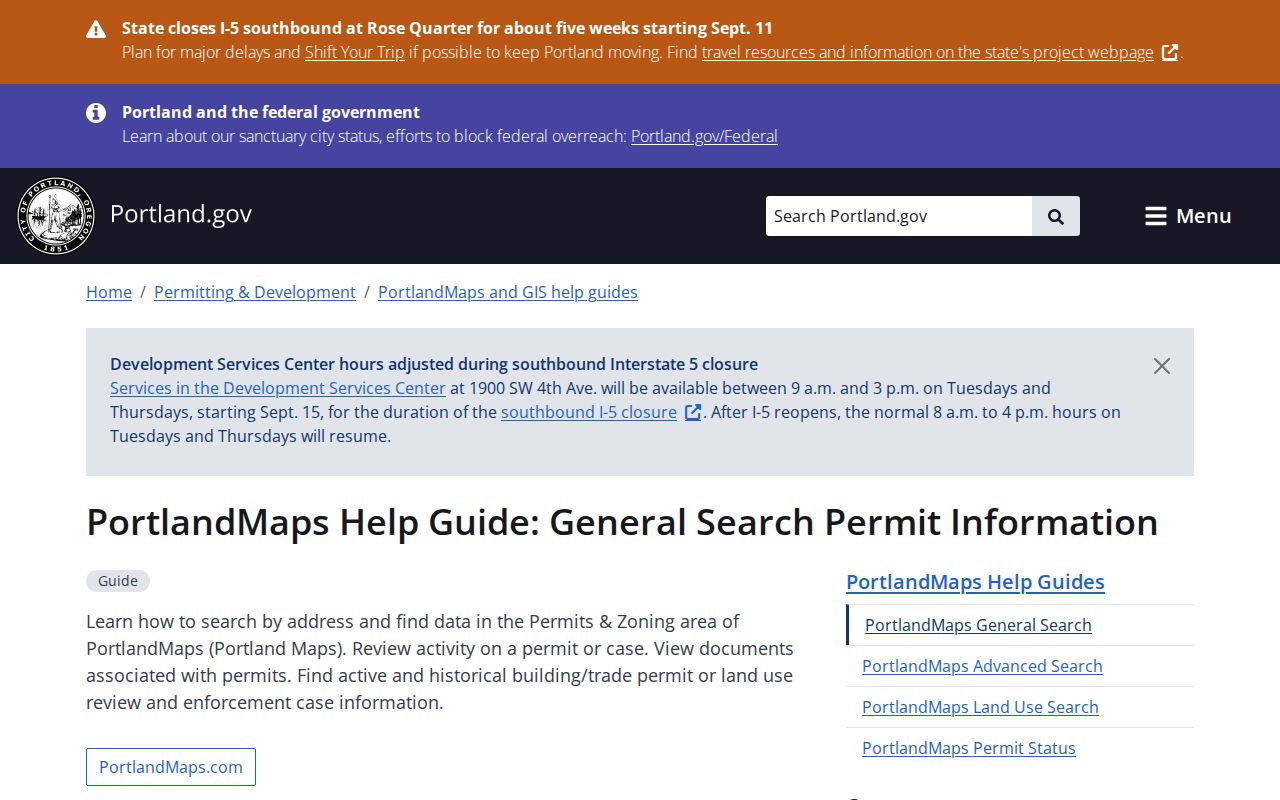
The guide is useful for getting to the right Portland property record, especially when a formal street suffix prevents an exact match.
Note: A Portland map result is a lead for a property trail, not a current household roster or title determination.
Portland Streets on PortlandMaps
PortlandMaps makes the street layer practical because its property summary can join an address to district, zoning, assessor, permit, infrastructure, and map data. Its Permits & Zoning area can expose building, trade, land-use, and enforcement context from 2000 forward. Advanced permit tools use permit type, status, location, date or time, and neighborhood-association filters. The city’s map report can also be downloaded. Those results document project activity around a Portland address, not everyone connected to a home or business there.
Permit application endings help explain a result: RS denotes a residential building application, CO commercial building, ET electrical trade, PT plumbing trade, and MT mechanical trade. A permit may name an applicant, contractor, owner, or staff contact. It does not turn into an occupant list. When a document is absent from the portal, Portland’s permitting public-records route is the next access channel rather than a reason to assume the underlying record does not exist.
Portland Street Directory Parcel Fields
MultCoPropTax is the county assessment and tax tool for Multnomah County property. Guest access accepts a street address or a Property Account Number. Basic search also accepts a name, legal description, alternate account number, or map tax lot. Its Advanced Search can narrow by street-number range, street name, city, ZIP Code, neighborhood, owner name, business name, owner ID, property type, status, and tax year. A ZIP or street filter narrows property records. It is not a verified way to browse a complete Portland resident list.
| MultCoPropTax field | Format | How it helps with a street |
|---|---|---|
| Situs Address | Street number and street | Finds the taxed property location, such as the site on a Portland street. |
| Property ID | Account identifier | Connects a Portland map lead to the county account. |
| Street Number Range and Street Name | Advanced paired fields | Narrows a stretch of Portland property records when the address range is known. |
| City, ZIP Code, Neighborhood | Advanced text fields | Filters geography, subject to the county and postal-boundary limits. |
| Legal Description | Partial or full text | Provides the stronger bridge to a deed when street numbers changed. |
The county describes owner, land and building information, values, taxes, a five-year value and tax graph, and property identifiers. Copy the Property ID, situs address, owner as displayed, legal or lot description, and tax year before opening the recording index. Treat any owner address as a correspondence field. It may be a trust, agent, business, manager, or an owner living elsewhere.
Multnomah County’s property-search tools and maps page brings the county’s property, map, SAIL, plat, and tax-district routes together.
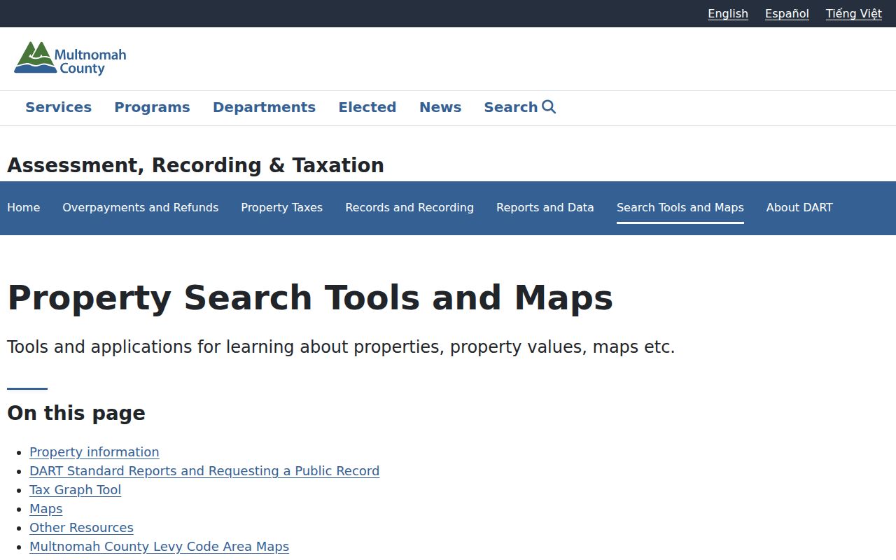
That county gateway helps a Portland researcher choose the appropriate map or property source after identifying the actual county.
The county’s property-records websites guide explains the relationship between the tax and recording systems.
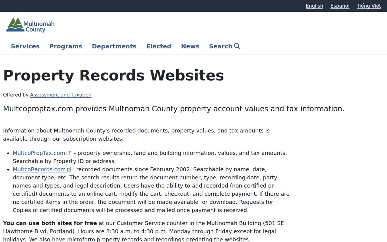
Using the county guide alongside the Portland map avoids treating a GIS summary as the complete assessment record.
- Parcel
- A defined piece of land represented in the assessment system. A parcel can have a Portland situs address and separate owner mailing address.
- Situs address
- The physical address or location of the property being assessed, not a statement about who currently occupies it.
- Plat
- A recorded subdivision map. Its lot and block references can help link an old deed to a Portland property after street numbering changes.
- Criss-cross directory
- An address-arranged directory. Portland’s reverse Street and Avenue Guides provide this kind of historic, year-specific clue from 1930 forward.
Portland Permits Along a Street
For a specific Portland address, PortlandMaps is the first online permit channel. Plans and applications for permits issued from June 1, 2012 through December 2023 are free there. Many records after December 2023 are not yet posted. Search the property address, choose Permits, and select a permit ID; an IVR number or permit number also works. The public view is useful for dates, project context, and case status, but it has record-year gaps and may not display every document.
Portland Permitting & Development’s public-records page provides the fallback for material that is not online. A request can seek plans, site-development plans, trade or zoning permits, inspection cards, signs, or certificates of occupancy. The city lists a minimum $8 research fee per address and may quote more before work begins. Historical trade ranges listed by the city include electrical records from 1983 to 1994, mechanical from 1960 to 2005, and signs from the 1970s to 2005.
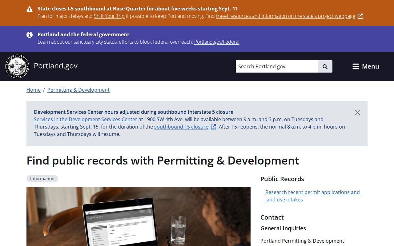
The Portland permitting route explains how to request address-linked material when the online record does not include the needed document.
Portland’s public-records search gateway also directs researchers to City Archives, eFiles, open-data and GIS sources when a question is broader than one permit.
The city gateway is an access route for municipal records, while the county assessment and recording systems remain the sources for Multnomah property evidence.
Note: Permit records can identify a project participant or property context, but they do not establish a full household at a Portland address.
Portland Street Directory Deed Chain
Use MultCoRecords after the county account identifies the legal description or present owner. The official result schema includes party name and type, document number, document type, recording date, legal description, and an image or order path. On a deed, the grantor is the transferor and the grantee is the recipient. Search the grantee from the current deed as a possible grantee in an earlier conveyance, then test the legal description again. A street number may not appear in an older instrument, so the lot, plat, or legal description carries more weight.
Online recorded documents begin in February 2002. DART’s lobby computers have electronic recorded indices from 1965 forward. When a Portland deed trail reaches earlier material, order the image through DART Customer Service, use the lobby computers, consult microform, or make a Multnomah County Archives appointment. The Archives holds historic county material, including an 1849 to 1854 deed book for land then in Washington County that later became part of Multnomah’s history. This time split is why a web non-result is not necessarily a missing record.
Multnomah County’s property recording information describes its recording access and the free Property Recording Alert Service.
PRAS sends an email when selected identifying information is indexed, but the county says it is an alert rather than proof of fraud or a substitute for reading the record.
Portland Address Records Compared
Each Portland address source answers a different question. The parcel account is the assessment trail. PortlandMaps supplies city and geographic context. The recording index supplies a dated document event and named parties. Permits document a project or case. The library’s address-arranged directory section gives a year-specific listing. Keep the labels from each record rather than converting an owner, applicant, mailing addressee, or historic listing into a current-resident claim.
| Address record | Keeper | What it can show | Access and limit |
|---|---|---|---|
| Parcel and tax account | Multnomah DART | Parcel, owner, land and building facts, value, tax data | MultCoPropTax guest search; distinguish mailing from situs. |
| Map and city context | PortlandMaps | Property map, districts, zoning, permits, and linked city context | Free address or intersection search; not legal title. |
| Recorded document | DART Recording | Parties, type, date, number, and legal description | Online from February 2002; counter index and microform reach further back. |
| Permit or case | Portland PP&D | Project, status, and associated property context | Online coverage varies; request unavailable material through the city. |
| Reverse directory | Multnomah County Library | Person or business listed at a Portland address in a directory year | 1930 forward; historic clue, not a complete household list. |
For the historical directory collections and their entry conventions, use the Portland Directory Book after the address trail identifies an era worth checking.
Portland Streets Before 1933
Portland’s address history has a major break. Five-person crews began a citywide revision in 1931, and the work was completed in July 1933. Nearly every building received a new number and directional, and many streets changed names. The system established the NW, N, NE, SW, and SE quadrants. Part of southwest Portland received the S directional in 2020. A modern street number can therefore miss a Portland record created before the revision even when the property itself is the same.
The Multnomah County Library directs researchers to the Crane Directory of Street and Name Changes at Central Library or its City Archives eFiles copy. The crosswalk works forward and backward. For 1930 and 1931, try the former address. For 1932 and 1933, search both forms because the change did not land at the same time in every neighborhood. Before concluding that a Portland address lacks a historic listing, also confirm whether the neighborhood lay outside the city limits when the record was made.
The library’s Portland city directories have reverse Street and Avenue Guides from 1930 forward. Find the street, block, and address, then look up the abbreviated name in the alphabetical section. The earlier 1863 to 1929 volumes are alphabetical only, so begin with a person or pair the directory work with permits and historic newspapers.
Portland Street Directory Access Gaps
Portland street research has several off-screen channels. DART Recording & Customer Service is at 501 SE Hawthorne Blvd., Suite 175. Published hours are Monday through Friday, 8:30 a.m. to 4:30 p.m. The county’s property-tax and ownership assistance line is 503-988-2225, and its office combines assessment, recording, and taxation. County Archives research requires an appointment at 503-988-3741; viewing is normally free, although assistance or copy charges can apply.
A Portland city record that is not posted can be requested through the city’s public-records process. Oregon Public Records Law, ORS chapter 192, gives every person a right to inspect nonexempt records under ORS 192.420. The law’s request timing and actual-cost provisions do not erase exemptions. Use the city or county channel that holds the record, describe the address and date range, and expect the custodian to identify available material or costs.
These channels matter most when a Portland search crosses the February 2002 online recording threshold, enters a permit year not online, or needs older county material. They also prevent a portal’s search limits from becoming a false claim that no record exists.
Limits on Portland Street Listings
A Portland street search is not a public roll of every person at every address. PortlandMaps provides parcel context. MultCoPropTax identifies assessed-property facts. MultCoRecords identifies parties to recorded documents. The library’s reverse guides identify a listed person or business in a particular year. None of those sources proves every person who lived at an address, and none should be read as a list of current neighbors.
Oregon My Vote is for a voter to view their own registration. It is not a browse-by-street service. Multnomah Elections provides voter lists through a written public-records request, subject to its list procedures and confidentiality rules. Protected-address participants in Oregon’s Safe at Home program use a substitute address, so an address in a record should not be used to infer a protected residence.
Lawful use. Portland address records support personal, lawful research and property history. Do not use them to stalk, harass, intimidate, or harm anyone, and do not infer a protected residence from a substitute address.
Note: Match source labels and dates carefully because ownership, mailing, project, and historical listing records describe different relationships to a Portland address.
Portland County Checks by Street
Portland is Multnomah County’s seat, but the incorporated city reaches into Clackamas and Washington Counties. A Portland postal label, PortlandMaps result, or old directory entry does not by itself choose a recorder or assessor. Confirm the tax county for the individual property, then follow that county’s assessment and recording rules. This is particularly important near the south and west edges, where a Multnomah portal non-result may simply mean the wrong county was searched.
Once the property’s county is confirmed, the street-by-street chain becomes more reliable: map the address, identify the relevant account, preserve the legal description, read the recorded event, and use a dated directory listing only for the historic question it can answer.