
Portland Postal Records Coverage
Portland ZIP codes are USPS delivery-routing areas, not municipal boundaries, neighborhoods, voter precincts, or tax jurisdictions. The city’s postal geography is dense and crosses municipal and county lines. A full address check is more reliable than assigning an address to a neighborhood from a ZIP alone. PortlandMaps and the relevant county account establish government geography; the USPS result verifies the mailing ZIP for the specific address.
| Delivery group | Portland delivery area | Postal check | Research note |
|---|---|---|---|
| 97201, 97204, 97205, 97209, 97210, 97211, 97212 | Central, downtown, NW, N, and inner NE delivery areas | Use the complete address in USPS Lookup | Boundaries are dense; do not infer the precise neighborhood from the ZIP. |
| 97202, 97206, 97214 through 97221 | Inner and outer southeast, northeast, north, and southwest delivery areas | Use the complete address in USPS Lookup | A ZIP does not determine a Portland neighborhood or county. |
| 97203, 97213, 97227, 97230 through 97233, 97236, 97239 | North, NE, east, hills, and south delivery areas | Use the complete address in USPS Lookup | Some delivery areas extend toward unincorporated or county-border locations. |
| 97222, 97223, 97225, 97229, 97266, 97267 | Border and overlap mailing areas also tied to nearby places | Use the complete address in USPS Lookup | Confirm the property’s tax county before opening an assessment or deed system. |
| 97207 to 97208, 97224, 97226, 97228, 97234 to 97235, 97237 to 97238, 97240 to 97298 | Special, PO box, firm, agency, or nonstandard Portland-labeled ranges may occur | Use the complete address in USPS Lookup | Do not claim address or neighborhood coverage without an address-level result. |
This is a routing table, not an official map of every ZIP boundary or a Portland directory of people. USPS does not publish a simple official all-areas city table that supplies authoritative neighborhood boundaries. The careful method is to verify an individual Portland address first, then establish its city and county through the property systems.
USPS address lookup is the official address-to-ZIP check for this first step.
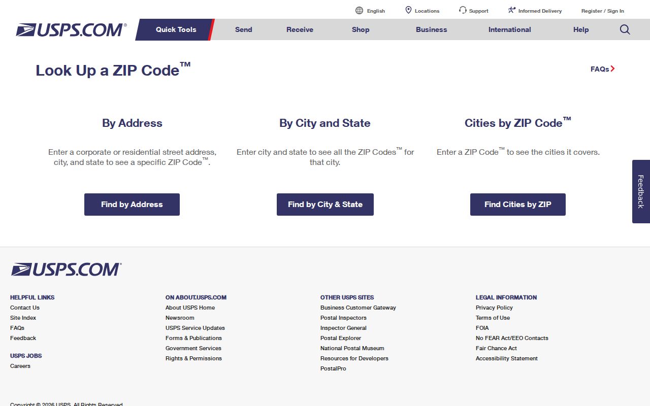
The USPS screen verifies a mailing ZIP for one full Portland address; it does not establish municipal limits or parcel ownership.
Portland Delivery ZIP Groups
The practical Portland groupings are central and downtown, inner or outer southeast and northeast, north and east, hills and south, plus overlap areas associated with nearby municipalities or unincorporated locations. An address in one of the overlap groups can carry a Portland mailing label while its property record belongs in a neighboring county. The reverse also happens: an incorporated Portland address can use a nearby-city mailing label. Treat every ZIP as a postal starting point, not a final place determination.
Portland’s geography adds another check. The incorporated city reaches into Multnomah, Clackamas, and Washington Counties. Multnomah County is the principal county and Portland is its seat, but MultCoPropTax and MultCoRecords are not the record custodians for every Portland property. A county mismatch is enough to explain a blank property or recording search. Before running a name or address through a county portal, identify the property’s actual tax county.
Note: A Portland mailing city and a ZIP both describe delivery routing, while city limits and county custody come from government geography.
Portland Property Record Fields
For a Multnomah County property, MultCoPropTax Advanced Search includes City and ZIP fields alongside street range, street name, neighborhood, owner, business name, property type, status, and tax-year controls. The portal also accepts a Property ID, legal description, alternate account number, or map tax lot. Results can be narrowed and exported, but searches over 10,000 results must be narrowed. This is a property-record filter, not a defensible command to show all people in a Portland ZIP.
| Search field | Type | Use for Portland ZIP work |
|---|---|---|
| ZIP Code | Advanced text field | Narrows Multnomah County property records to a postal slice. |
| City | Advanced text field | Pairs with ZIP Code, but does not prove incorporation or county custody. |
| Street Number Range and Street Name | Paired range fields | Refines a Portland property search after a ZIP check. |
| Neighborhood | Advanced text field | Provides a local geographic filter separate from the postal ZIP. |
| Property ID or legal description | Text field | Anchors a selected property to the county account and later recorded-document search. |
The search order matters. Confirm the ZIP with USPS, locate the property in PortlandMaps, then use the county tool that actually covers the parcel. Use the account’s legal description for a recording question because an old street number or postal label can change without changing the underlying land description.
Multnomah County’s appraisal overview describes the assessment context behind its property records.
The appraisal material helps place a Portland ZIP filter within the county assessment process rather than treating it as a people-search result.
Portland Property Results by ZIP
MultCoPropTax provides property ownership, land and building information, values, and tax amounts for Multnomah County accounts. Its account fields include Property ID, alternate account number, Owner ID, owner name, situs address, legal description, neighborhood code, abstract, subdivision, property type, and tax-year value fields. Advanced results can also show an owner address, assessed value, and market value. A site address tells where the taxed property is. An owner address is a correspondence field and may not be a residence.
Use a property result as one piece of a Portland records trail. The property account can supply the Property ID and legal description. A recorded deed then supplies parties, document type, recording date, document number, and legal description. PortlandMaps supplies district, zoning, permit, and map context. None of these fields proves a complete current household. They are strongest when the address, county, date, and legal description agree.
Multnomah County’s property ownership and tax-information guide explains the county routes for ownership, tax, and property-history research.
The county guide is a useful companion after a Portland ZIP has narrowed the geographic question to a particular address or parcel.
Find Portland Records by ZIP
A ZIP can narrow a Portland property search, but it cannot responsibly stand in for a resident roster. MultCoPropTax Advanced accepts a ZIP field. PortlandMaps Advanced Property Search also accepts a ZIP field and returns property records. PortlandMaps permit reports filter by location or neighborhood, not a verified ZIP-specific people mode. Oregon My Vote lets a voter view their own registration and is not a public browse-by-ZIP service.
- Enter the complete Portland address in USPS Lookup and record the returned ZIP and ZIP+4 if provided.
- Search the address in PortlandMaps to see the parcel context, districts, zoning, and city record leads.
- Confirm the tax county. For a Multnomah property, use MultCoPropTax’s ZIP, city, street, Property ID, or legal-description fields to narrow the account.
- Read the account’s situs and legal description, then use the latter in MultCoRecords if the question concerns a recorded transfer.
- Use a written Elections public-records request only for authorized voter-list material, subject to the county’s procedures and confidentiality limits.
Once a Portland ZIP search identifies a particular street and parcel, the Portland Street Directory gives the address-by-address path through city, county, and historic sources.
Portland ZIP County Checks
ZIP geography is especially risky at Portland’s borders. The overlap groups 97222, 97223, 97225, 97229, 97266, and 97267 are associated with nearby municipalities or unincorporated locations as well as Portland-area delivery. A Portland mailing ZIP may cross a county line. Start from the parcel map, then confirm whether Multnomah, Clackamas, or Washington County holds the assessment and recording evidence. This avoids mixing a correct postal check with the wrong legal custodian.
PortlandMaps uses assessor data but remains a city viewer. It is useful for a first address and intersection search, district or zoning context, permits, and mapped property information. The actual assessment roll comes from the county. The same distinction applies to a deed chain: county recording staff hold the legal recording materials, even if a Portland map first pointed to the property.
PortlandMaps is the city’s address-led GIS entry point.
The PortlandMaps search view provides parcel context after a ZIP check, while the correct county portal supplies the official account or recording information.
Note: A county portal non-result for a Portland mailing address can mean the parcel belongs to another county, not that no record exists.
Portland Postal Boundaries
ZIP boundaries and Portland city limits answer different questions. USPS uses ZIPs to route mail. PortlandMaps and county account data establish government geography. A city address can carry a nearby-city mailing label, and a Portland-labeled ZIP can extend beyond the incorporated city. A ZIP also does not settle the neighborhood, voter precinct, or tax jurisdiction. For research, preserve the full address, postal result, parcel identifier, and county together rather than substituting one for another.
- ZIP and ZIP+4
- The five-digit ZIP routes mail to an area. ZIP+4 adds a more specific delivery segment for a full address; it does not establish ownership or city limits.
- PO box ZIP
- A ZIP used for post-office boxes or special postal service. It should not be assumed to describe the physical location of a Portland property.
- Unique ZIP
- A ZIP tied to a single organization or special postal function. The research identifies special Portland-labeled ranges but does not support assigning one to an address without USPS verification.
- Carrier route
- A USPS delivery sequence within a ZIP. It helps mail delivery and is not a county parcel, neighborhood boundary, or public list of residents.
Portland Postal Directory History
A ZIP cannot repair an older Portland address. Five-person crews began a citywide readdressing in 1931 and completed it in July 1933. Nearly every building received a new number and directional, and many streets changed names. The change set up the NW, N, NE, SW, and SE quadrants; part of southwest Portland later received the S directional in 2020. A historic record may use an address form that no longer looks like the current postal form.
For a pre-1933 Portland address, use the Crane Directory of Street and Name Changes at Central Library or its City Archives eFiles copy. The crosswalk works in both directions. Try the old form for 1930 and 1931. For 1932 and 1933, try both old and new forms because conversion timing differed by neighborhood. Annexation history also matters: an area now called Portland may have been outside the city when a directory or property record was created.
Limits of Portland ZIP Results
No local government portal identified in the research provides a defensible command to show every resident of a Portland ZIP. Property systems return account and parcel information. City systems return map, permit, district, and city-record context. Voter self-service is individual-facing, while Elections voter-list material follows a written-request channel and confidentiality rules. Keep the search focused on the record type and address question at hand.
Safe at Home, Oregon’s Address Confidentiality Program, gives eligible participants a substitute address. Do not infer an actual residence from that mailing address. Public records can also have exemptions or restricted access periods. Oregon Public Records Law, ORS chapter 192, gives a right to inspect nonexempt records, not a right to bypass those protections.
Lawful use. Portland ZIP and property records are for personal, lawful research. Do not use them to stalk, harass, intimidate, or harm anyone, and do not treat a postal match as proof of residence.
Note: Postal routing, city geography, county custody, and a dated property record are separate facts that should be confirmed one at a time.